

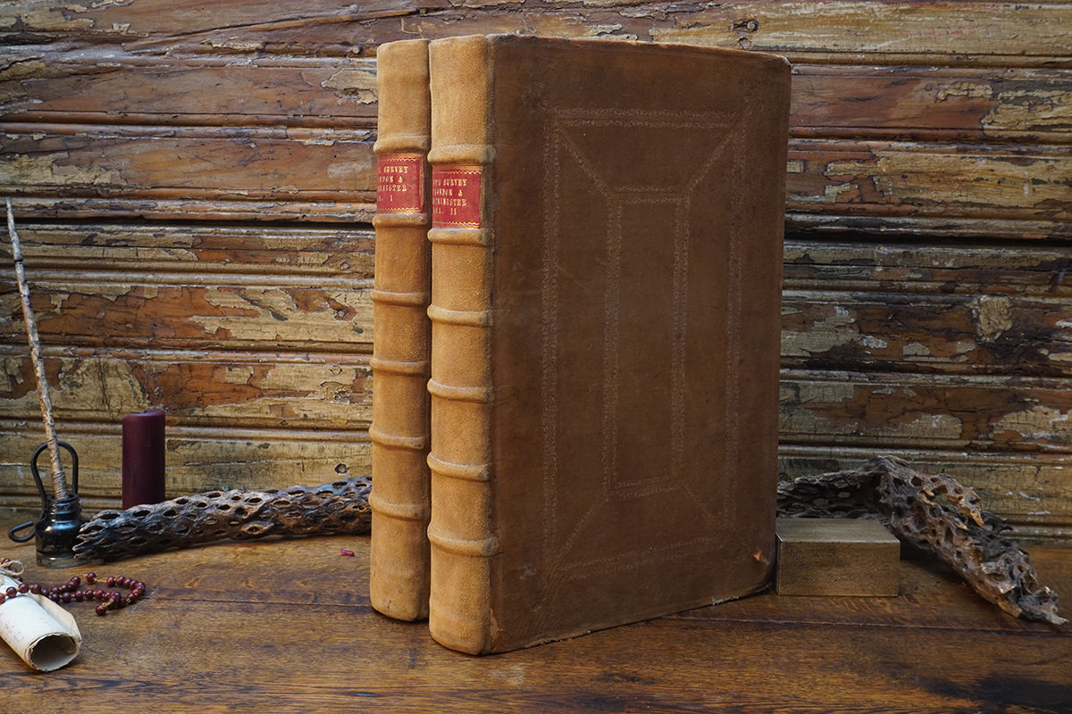

John Stow’s A Survey of the Cities of London and Westminster is widely celebrated as one of the most critical and foundational topographical histories ever compiled. Originally published by Stow in 1598 to capture the memory of Elizabethan London, the text evolved over the centuries as a living historical record. This spectacular 1754–1755 sixth edition represents the pinnacle of that evolution. Considerably expanded by the renowned ecclesiastical historian John Strype, this massive two-volume folio set acts as an encyclopedic window into the heart of the 18th-century British Empire, charting the unprecedented expansion of the metropolis, the architectural rebirth following the Great Fire of London, and the intricate daily civic life of its historic wards.
What elevates this specific mid-18th-century printing to legendary status is its status as the finest and most heavily illustrated edition of Stow's classic work. It serves as a literal storehouse of visual history, holding 132 exquisite copperplate engravings, panoramic vistas, and meticulously detailed folding maps. Master printmakers like Sutton Nicholls, Johannes Kip, and Richard William Seale brought the sprawling Georgian capital to life, rendering breathtakingly precise records of landmark churches, bustling open squares, and individual parish bounds that are no longer standing today. It stands not just as a book, but as an indispensable primary monument of British cartography and architectural heritage.
